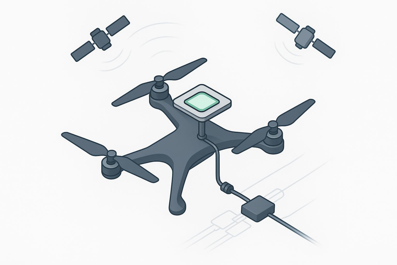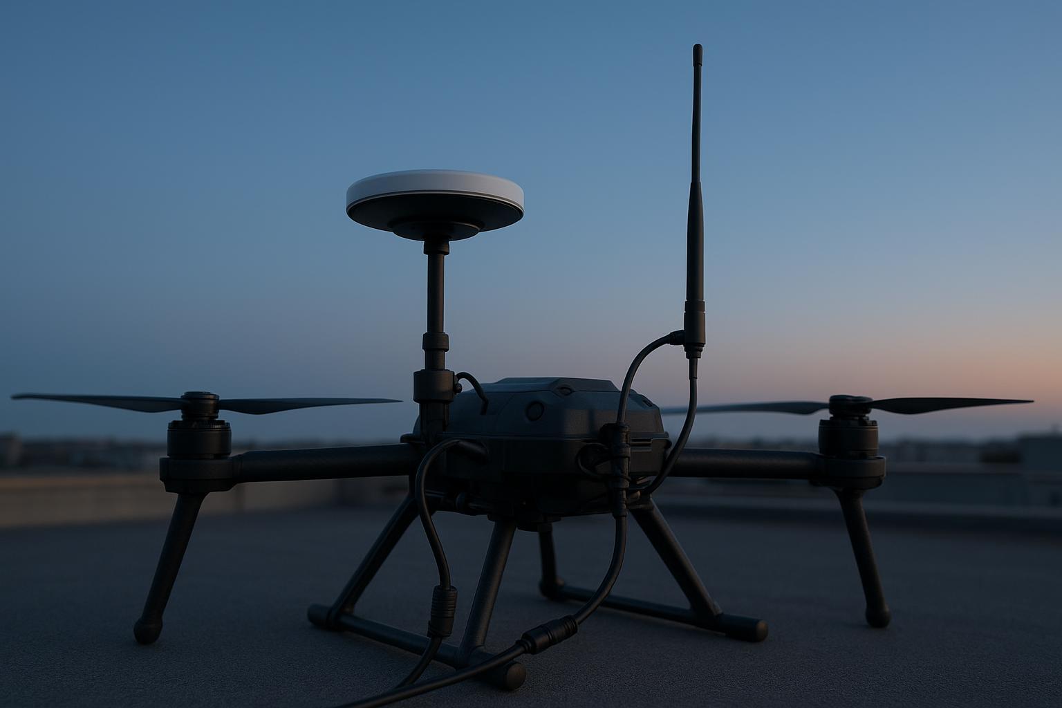
Both RTK and PPK take a drone from GPS’s 3–5 meter guesswork to 1–2 centimeter accuracy — they just apply the correction at different times. RTK (real-time kinematic) fixes the position during the flight, streaming corrections from a base station to the drone over a live link. PPK (post-processed kinematic) logs raw satellite data on the drone and the base, then merges and corrects it after you land. Same accuracy target, opposite workflows — and the right choice comes down to two questions: how good is your connectivity, and how fast do you need results?
If your site has a solid radio or cellular link and you want map data the same day, RTK is simpler. If you’re flying large areas, urban canyons, dense canopy, or beyond line of sight where the link is unreliable, PPK is more robust. This guide walks the real trade-offs, the hybrid workflow that uses both, and the one component that decides accuracy for either: your UAV GNSS antenna.
The core difference: when the correction happens
The entire distinction is timing. RTK corrects live and hands you a finished, geotagged position mid-flight. PPK records everything raw and does the correction later, in the office.
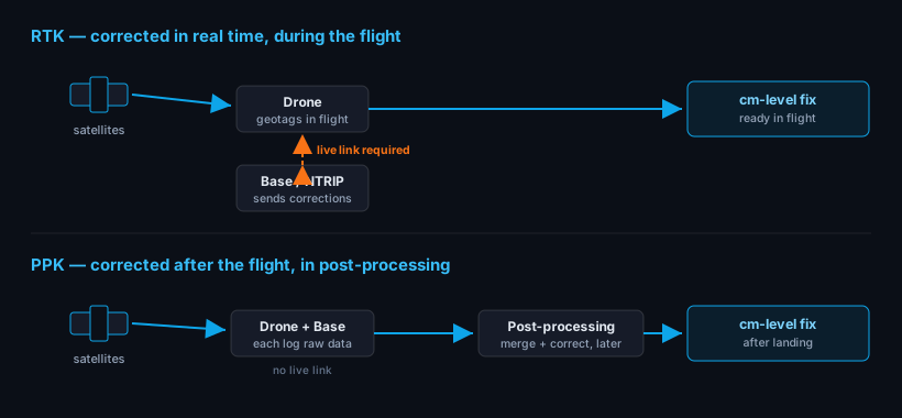
The consequence falls out of that one difference. RTK’s live link is its strength and its weakness: you get finished data instantly, but only while the drone holds a connection to the base or NTRIP network. PPK carries no such dependency during flight — everything is logged and reconciled afterward — which makes it more forgiving, at the cost of an office step before you see results.
Both hit centimeter accuracy
It’s worth being clear: neither method is “more accurate” as a rule. Done well, both deliver 1–2 cm absolute accuracy, versus 3–5 m for uncorrected GPS. In practice PPK often edges ahead on difficult flights — not because the math is better, but because post-processing can run the data forward and backward in time and isn’t at the mercy of a dropped link. On a clean, well-connected site, RTK and PPK converge to the same answer.
When RTK is the right call
RTK shines when connectivity is solid and speed matters:
- Same-day results. There’s no post-processing step between landing and looking at the map — critical on fast-moving sites (earthworks, stockpiles) where conditions change daily.
- Real-time verification. You can confirm the fix is good while still on site, and re-fly immediately if it isn’t.
- Simple, connected sites. Open sky, a reliable radio or cellular link, short-to-medium range — RTK’s dependency simply doesn’t bite.
If your workflow is “fly it, review it, decide, move on,” and the link is dependable, RTK removes a whole office task.
When PPK wins
PPK is the more robust workflow when the live link can’t be trusted:

- Poor or patchy signal. Urban canyons, dense forest, deep cuts and pits — anywhere buildings, terrain, or trees break the radio path. RTK accuracy degrades when the link stutters; PPK doesn’t care, because it never needed the link.
- Large-area and BVLOS mapping. Long corridors and beyond-visual-line-of-sight flights outrun a local radio. Logging raw data sidesteps the range limit entirely.
- High-stakes surveys. When a re-fly is expensive or impossible, PPK’s ability to re-process the same raw data — and to run it both directions — is insurance you can’t get from a one-shot real-time fix.
The trade is office time: PPK adds a data-processing step, and a short wait before the map exists.
The hybrid workflow: run both
You don’t always have to choose. Many professional rigs fly RTK live and log raw data for PPK at the same time. The RTK link gives real-time confidence in the air; the PPK log is a complete, uninterrupted backup. If the RTK signal drops mid-flight, post-processing fills the gap seamlessly — no re-fly.
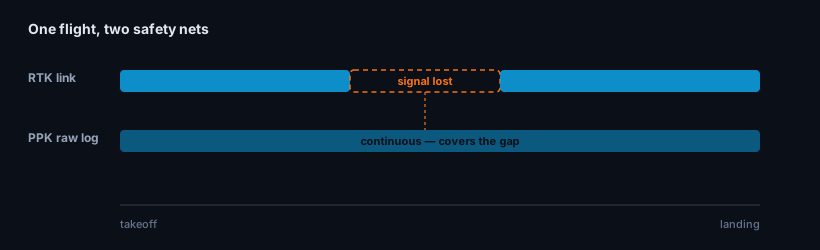
The hybrid setup is increasingly the default on surveys where neither speed nor accuracy can be compromised. It costs a little more data storage and a fallback processing step you may never use — cheap insurance against a dropped link over ground you can’t easily re-fly.
RTK vs PPK at a glance
| RTK | PPK | |
|---|---|---|
| Correction timing | Real time, during flight | After flight, in the office |
| Needs a live base link? | Yes — throughout the flight | No — logs raw, corrects later |
| Results speed | Immediate, same-day | Delayed by post-processing |
| Robustness in poor signal | Degrades if the link drops | Unaffected — no link needed |
| Large-area / BVLOS | Limited by radio range | Well suited |
| Office workload | None | Extra processing step |
| Best for | Fast, connected sites | Large, remote, or poor-signal sites |
What both depend on: the antenna
Here’s what RTK-vs-PPK debates usually skip. Both methods compute position from the same thing — clean carrier-phase measurements — and both inherit whatever the drone’s antenna hands the receiver. A noisy antenna with poor multipath rejection or an unstable phase center caps your accuracy before any correction method gets a chance, whether that correction happens in real time or in post.
For a UAV that means a compact, lightweight multi-band antenna with clean right-hand circular polarization (RHCP) and a phase center that holds steady as the airframe pitches and rolls. We cover the specifics in UAV RTK antenna requirements and the form-factor question in helical vs patch for drones. GNSource’s aviation & UAV antenna line is built for exactly this envelope.
How to choose
Work down three questions:
- Is your link reliable across the whole flight? No → PPK (or hybrid). Yes → RTK is on the table.
- Do you need the map the same day? Yes → RTK. Can wait for processing → either.
- Is a re-fly expensive or impossible? Yes → log PPK as a backup even if you fly RTK.
For most connected, time-sensitive sites, RTK is the pragmatic default. For large, remote, obstructed, or high-stakes work, PPK — or RTK-with-PPK-backup — earns its extra office step.
Frequently asked questions
Is PPK more accurate than RTK? Not inherently — both target 1–2 cm and reach it on a clean flight. PPK often looks more accurate in hard conditions because post-processing can run the data forward and backward and isn’t hurt by a dropped link, but on a well-connected site the two agree.
Can I use PPK without a base station? You still need a reference: either your own logging base or a nearby CORS/reference-station network whose raw data you download afterward. What PPK removes is the need for a live link during the flight, not the need for reference data.
Does RTK vs PPK change which antenna I need? No — both rely on clean carrier-phase, so both want the same thing: a stable-phase-center, multi-band UAV antenna with good multipath rejection. The antenna sets your accuracy ceiling regardless of when the correction is applied.
What is the hybrid RTK/PPK workflow? The drone flies with a live RTK link for real-time results while simultaneously logging raw data for PPK. If RTK drops out, PPK reconstructs those moments in post-processing — you get real-time confidence plus a guaranteed complete dataset.
Written by GNSource Engineering. GNSource manufactures lightweight multi-band GNSS antennas for UAV RTK and PPK payloads. Talk to our engineers about matching an antenna to your drone and accuracy target.